I’ve driven, bussed or walked past the corner of Symonds St and Mt Eden Rd dozens of times but never noticed the reservoir which fills half of that block. Talk about invisible. That’s exactly what my project is: mapping that type of “invisible” infrastructure which brings water from the Hunua Ranges to my house.
Thinking about presentation - I’m keen to base my map on the London Underground map discussed in "Mapping Experience" by M Treib in Design Quarterly – the maps are similar in that they both portray invisible essential infrastructure and have disregard of real world spatial reference (p 11). The purpose is not to portray correct geographic scale but instead to help a traveller find their way from one station to another (London tube map) or tracing the flow of water from node to node back to its source (my map).
The ideas I’m trying to pull together for the presentation are –
- How can I use different weighting and colouring of lines to show different flow volumes?
- How can I portray the nodes?
- Shall I incorporate gradient to reflect gravity in the system?
- What form of graphic can I use to show the dynamic flow of water?
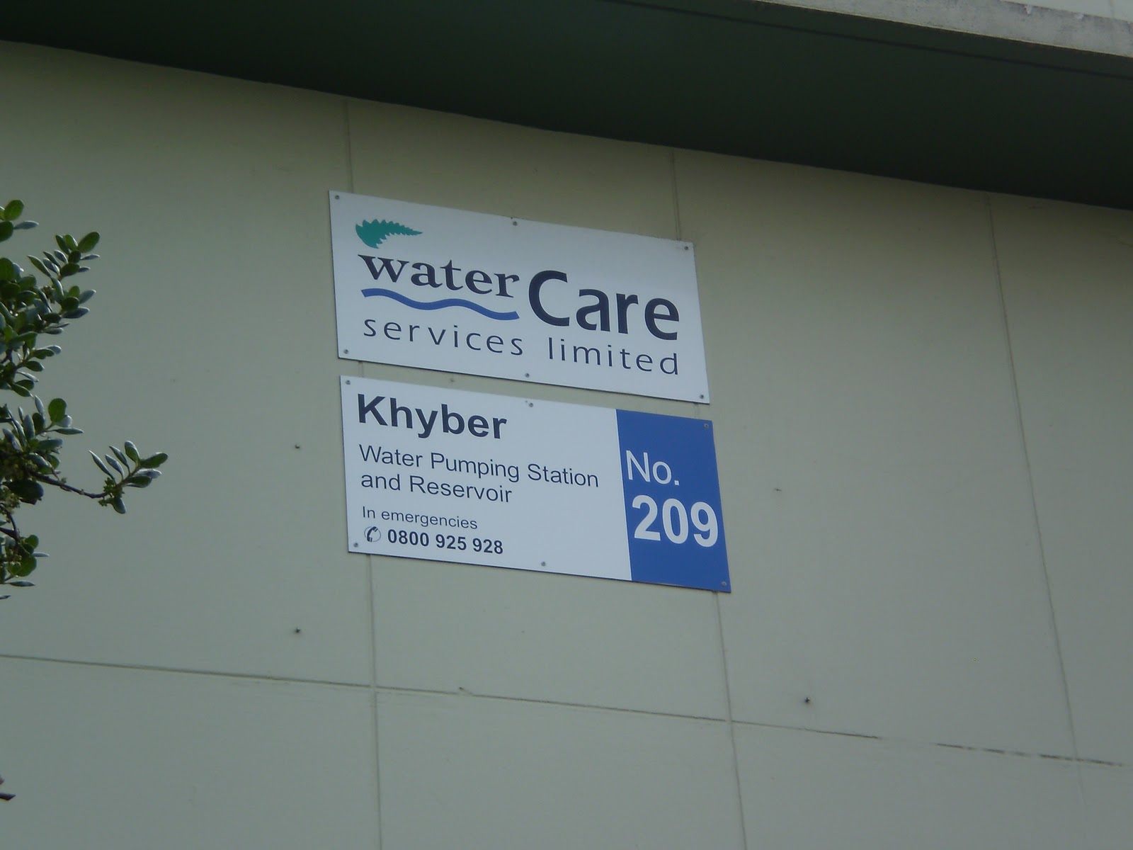
How shall I integrate photographs of infrastructure in a meaningful way? For example these photographs of Khyber Pass Reservoir:


Source: Author's own.
No comments:
Post a Comment